Freitag, 16. Juni 2023 — Heute geht es mit dem Mietwagen nach Los Angeles. Am Montag ist Juneteeth und damit verlängertes Wochenende. Direkt nach der Arbeit geht es zur Autovermietung und auf den Highway 101. Es sind 310 Meilen, also grob 310 Minuten, bis nach Glendale, Los Angeles. Die I-5 ist aber langweilig, und daher entscheide ich mich bei El Paso de Robles auf der 101 zu bleiben.

–
Projection: Mercator (5)
FOV: 51 x 21
Ev: 13,64
Bei San Luis Obispo geht durch die Berge. Bei Los Olivos geht es kurz auf die 154 und erneut durch die Berge. Es ist bereits dunkel. Ich treffe bei Santa Barbara wieder auf die 101. Ich erreiche das San Fernando Valley und den Vekehr von LA. Fünf Spuren und alles ist dicht an dicht. Und es zieht sich. LA ist rieisig. Und eigentlich bin ich noch nicht einmal in LA. Das ist südlich der Bergkette. Die 101 beigt ab, ich folge gerade der 134. die kreuzt die I-5 und dann ist da auch schon meine Abfahrt 7B. Es ist eine Doppelabfahrt, hoffentlich verfahre ich mich nicht. Hah. Wie ein Profi. Ich bin im Brand Blvd. Eins, Zwei, Drei Kreuzungen und da ist mein Hotel, das Brandwood.
Ich checke ein. Parken muss ich den Wagen in der Parallelstraße. Nicht so schlimm, solange ich ihn überhaupt irgendwo parken kann. Hier an der Ecke N Orange St & W California Ave ist der Imbiss „The Great White Hut„. Dinner wird ein Impossible Chesseburger. Der hat genug Kalorien und Fett für Tage.
Ich stelle noch einen groben Plan für morgen auf, dann falle ich ins Bett.
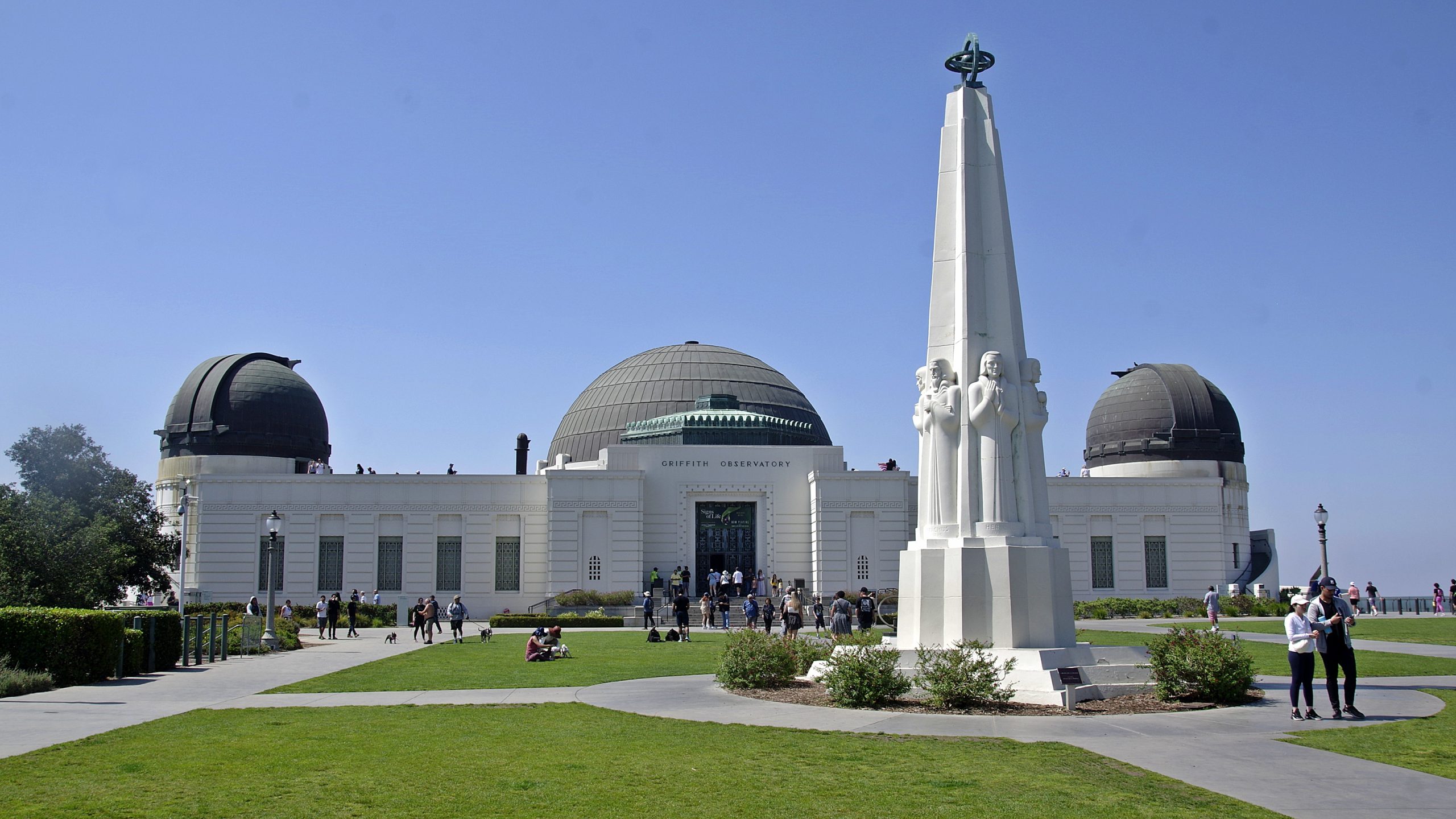
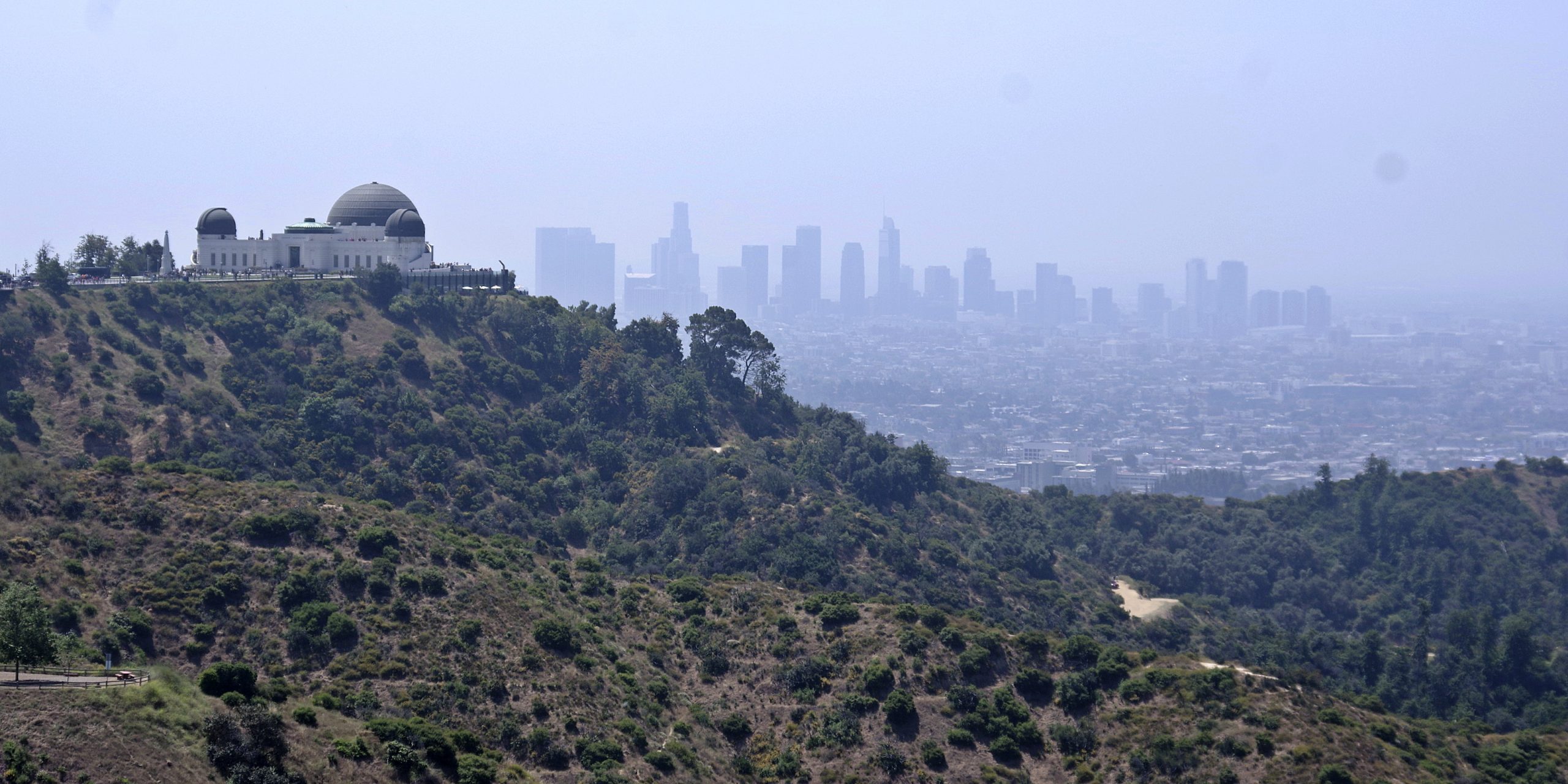
Samstag, 17. Juni 2023 — Der Mietwagen bleibt wo er ist. Ich will ein Bier trinken und Parkplätze in LA sind Luxusgüter (selten und teuer). Mit dem uber geht es rauf zum Griffith Observatory am Mount Hollywood auf 300m Höhe. Von hier hat man einen Superblick in die Flachebene von LA. Die Skyline von Downtown in der Ferne. LA ist riesig.
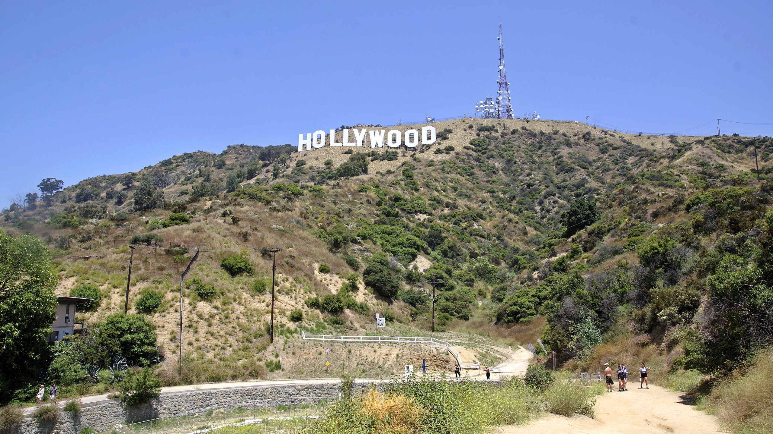
Auch das Hollywood-Sign ist in die andere Richtung zu sehen. Es ist mein nächstes Ziel. Und so geht es quer durch die Griffith Park. Natürlich bergauf in der LA-Hitze im Juni. Wer kam eigentlich auf diese doofe Idee. Der Mt. Hollywood Dr zieht sich. Endlich der Mulholland Trail. Ab jetzt heißt es Sandweg bis zum Mt. Lee Dr. Jetzt muss ich wählen: Links geht es runter zum Hollywood Sign Viewpoint, rechts hinauf zum Sign selbst. Es wird vor Klapperschlangen gewarnt.
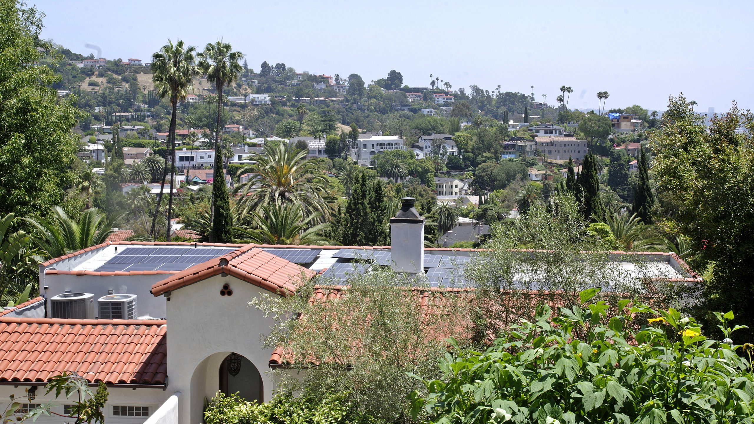
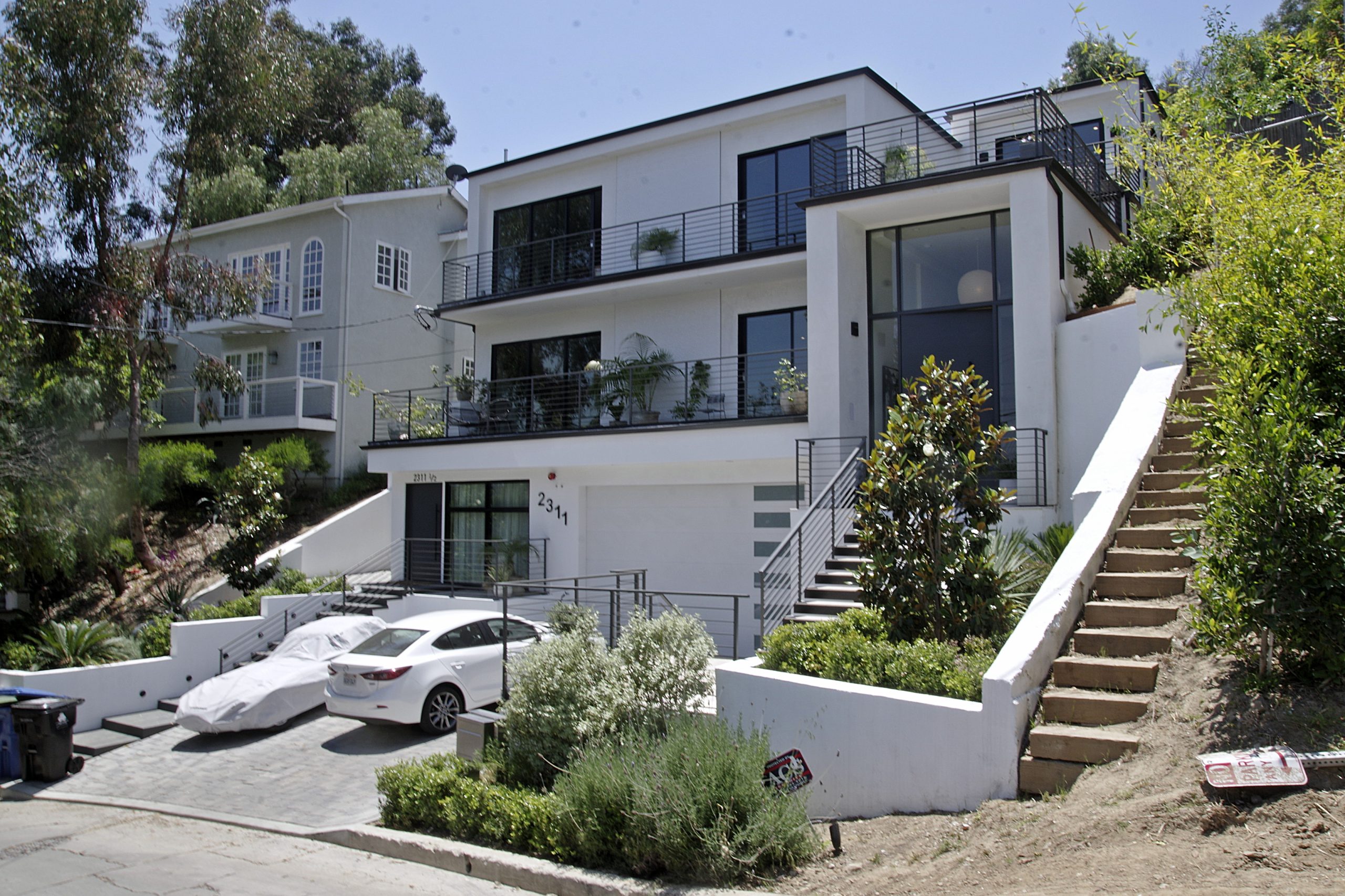
Ziel ist ein Foto vom Schild, nicht das Schild, also links. Vom markierten View Point mache ich ein paar Fotos. Dann folge ich dem Mulholland Highway. Hier stehen die Luxusvillen. Eine neben der anderen. Den Blick immer gut vewehrt. Hier wohnen die Reichen, für LA-Verhältnisse. Das ist ne Menge Geld. Die Wohngegend heißt Hollywoodland.
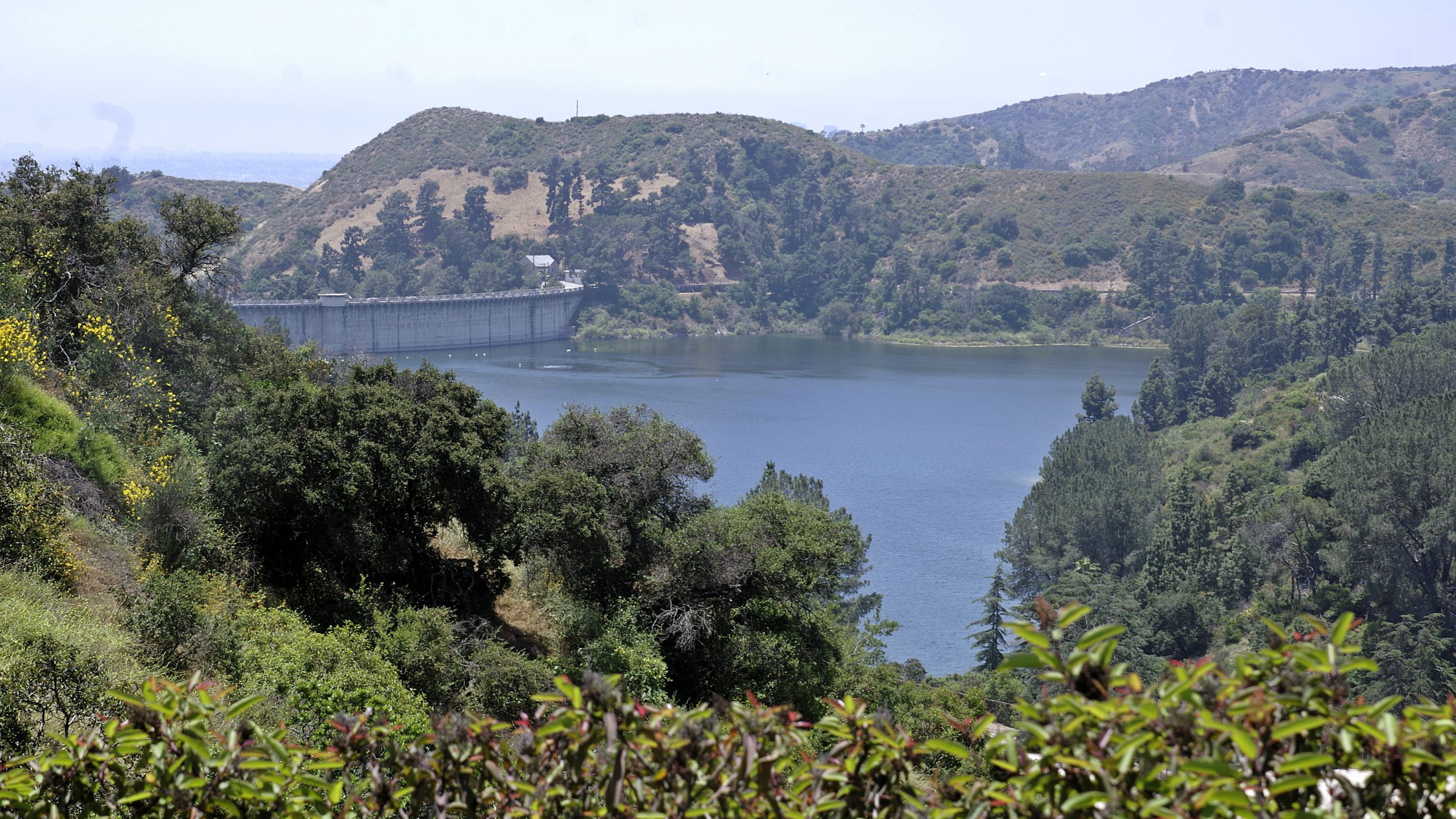
Ich laufe runter bis zum Lake Hollywood Park. Hier regelt die Polizei den Verkehr und sorgt dafür, dass keine Touristen den Mulholland Hwy belästigen. Hier beginnt auch ein kleiner Wanderweg, der parallel zum Durand Dr verläuft. Es geht immer bergab. Klar. Der View Point war auf 1200 ft. Der Hollywood Blvd liegt auf 400 ft.
Ich folge Creston Dr, Vasanta Way und Temple Hill Dr. Es geht quer durch dass Nobelwohngebiet. Keine Ahnung was der Hollywood Scuplture Garden ist. Es muss wohl was mit Kunst sein. Ich verstehe es nicht. Mit der N Gower St erreiche ich die erste Straße, die geradeaus führt. Ich bin jetzt genau an der Grenze zwischen Bergwegen und dem Schachbrett von LA.
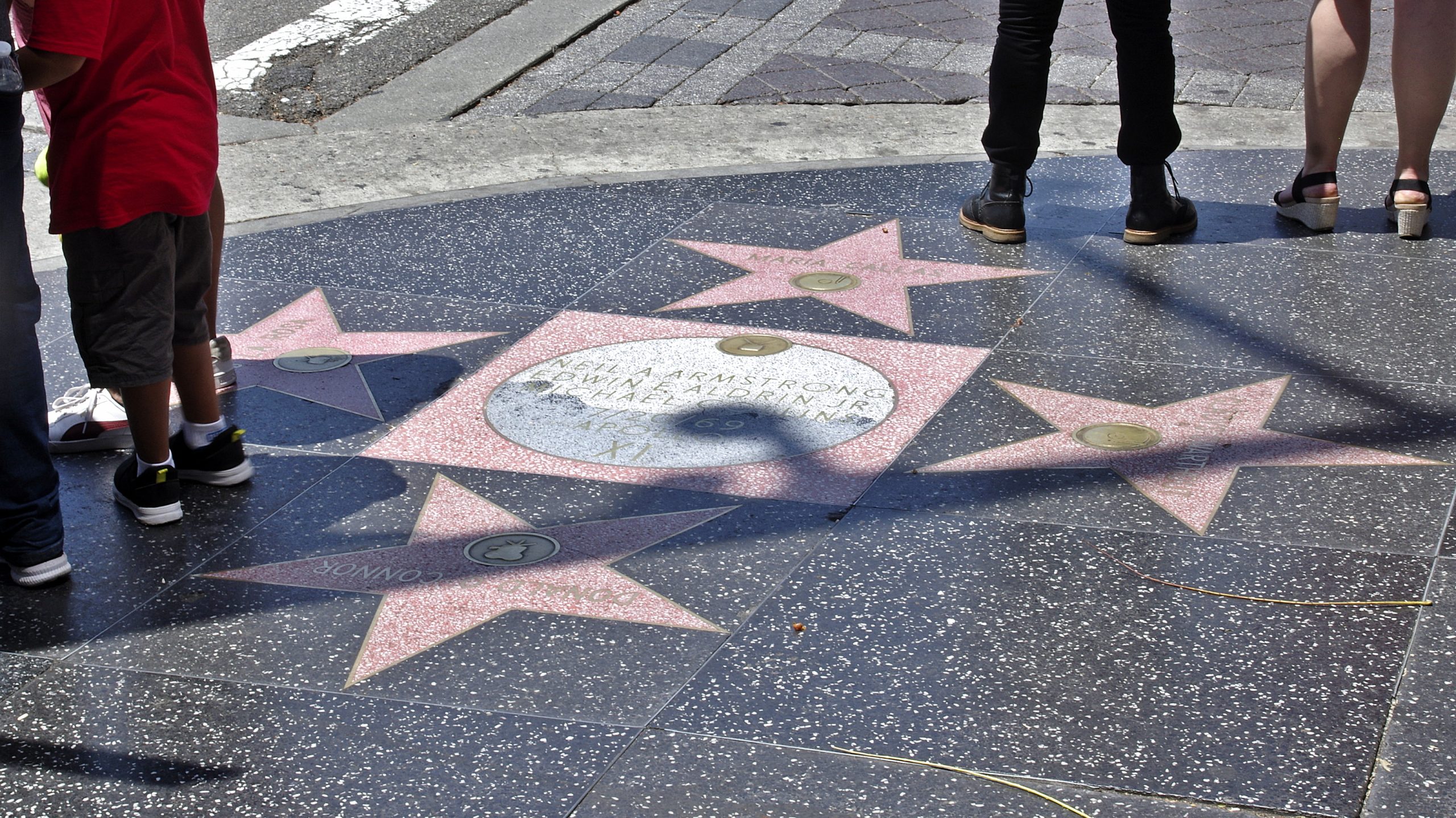
An der Fanklin Ave ist eine Tankstelle. Endlich was zu Trinken. Gestärkt geht es unter der 101 hindurch zum Hollywood Blvd, a.k.a dem Walk of Fame. Der Sterne beginnen genau hier, auf beiden Fußwegen. Die Gegend sieht allerdings weniger glamourös aus.
Der Walk of Fame endet in etwa 2 km Entfernung beim berühmten TCL Chinese Theatre. Die App für die Stars habe ich jetzt nicht runtergeladen. Ich bin gespannt, wen ich so durch Zufall finde. Alles in Allem ist der Walk of Fame sehr langweilig.
Vom Chinese Theatre mache ich ein Foto. Das zieht in real jetzt keinen Hering vom Teller. Die Handabdrücke im Beton sind ganz ok. Kann gut sein, dass die gute Zeit in Hollywood vorbei ist. Der Lack ist ab, das merkt man. Gegenüber ist übrigens das Studio der Jimmy Kimmel Live! Late Night Show.
[… weiter im nächsten Eintrag …]
Friday, June 16, 2023 — Today I’m taking the rental car to Los Angeles. Monday is Juneteeth and therefore an extended weekend. Straight after work, I head to the car rental office and onto Highway 101. It’s 310 miles, or roughly 310 minutes, to Glendale, Los Angeles. But the I-5 is boring, so I decide to stay on the 101 at El Paso de Robles.

–
Projection: Mercator (5)
FOV: 51 x 21
Ev: 13,64
At San Luis Obispo, the road goes through the mountains. At Los Olivos, we briefly take the 154 and then through the mountains again. It is already dark. I rejoin the 101 at Santa Barbara and reach the San Fernando Valley and the LA traffic. Five lanes and everything is packed together. And it drags on. LA is freezing. And I’m not even in LA yet. That’s south of the mountain range. The 101 turns off, I just follow the 134, which crosses I-5 and then there’s my exit 7B. It’s a double exit, I hope I don’t get lost. Hah. Like a pro. I’m at Brand Blvd. one, two, three intersections and there’s my hotel, the Brandwood..
I check in. I have to park the car in the parallel street. Not so bad, as long as I can park it somewhere. Here on the corner of N Orange St & W California Ave is the snack bar The Great White Hut. Dinner is an Impossible Chesseburger. It has enough calories and fat for days.
I draw up a rough plan for tomorrow, then fall into bed.
Saturday, June 17, 2023 — The rental car stays where it is. I want to have a beer and parking spaces in LA are luxury goods (rare and expensive). I take the uber up to the Griffith Observatory on Mount Hollywood, 300 meters above sea level. From here you have a great view of the flatlands of LA. The downtown skyline in the distance. LA is huge.
The Hollywood sign can also be seen in the other direction. It’s my next destination. And so it goes across Griffith Park. Uphill in the LA heat in June, of course. Who actually came up with this stupid idea? Mt. Hollywood Dr drags on. Finally the Mulholland Trail. From now on it’s a sandy path to Mt. Lee Dr. Now I have to choose: Left down to the Hollywood Sign Viewpoint, right up to the Sign itself. There is a warning about rattlesnakes.
The aim is to take a photo of the sign, not the sign, so left. I take a few photos of the marked view point. Then I follow the Mulholland Highway. Here are the luxury villas. One next to the other. The view is always well defended. This is where the rich live, by LA standards. That’s a lot of money. The residential area is called Hollywoodland.
I walk down to Lake Hollywood Park. The police regulate the traffic here and make sure that no tourists bother the Mulholland Hwy. This is also the start of a small hiking trail that runs parallel to Durand Dr. It always goes downhill. Clear. The view point was at 1200 ft. Hollywood Blvd is at 400 ft.
I follow Creston Dr, Vasanta Way and Temple Hill Dr. It goes right through the posh residential area. I have no idea what the Hollywood Scuplture Garden is. It must be something to do with art. I don’t understand it. I reach N Gower St, the first street that leads straight ahead. I’m now right on the border between mountain trails and the LA checkerboard.
There is a gas station on Fanklin Ave. Finally something to drink. Strengthened, I head under the 101 to Hollywood Blvd, a.k.a. the Walk of Fame. The stars start right here, on both sidewalks. However, the area looks less glamorous.
The Walk of Fame ends about 2 km away at the famous TCL Chinese Theatre. I haven’t downloaded the app for the stars yet. I’m curious to see who I’ll find by chance. All in all, the Walk of Fame is very boring.
I’ll take a photo of the Chinese Theatre. It won’t pull any herrings off the plate in real life. The handprints in the concrete are okay. It may well be that the good times in Hollywood are over. The paint is off, you can tell. Opposite is the studio of the Jimmy Kimmel Live! Late Night Show.
[… continue in the next entry …]

